OpenET Use Cases
The OpenET project incorporated use cases to highlight the impactful ways that more accessible evapotranspiration (ET) data can encourage and support sustainable land and water management and drive more wide-scale adoption of innovative water management solutions. These use cases provide site-specific insights to improve local management and build awareness and engagement within end-user communities.
The OpenET team is grateful for the support and contributions we have received from our use case partners.
Click on the icons on the map below to learn more about each use case.
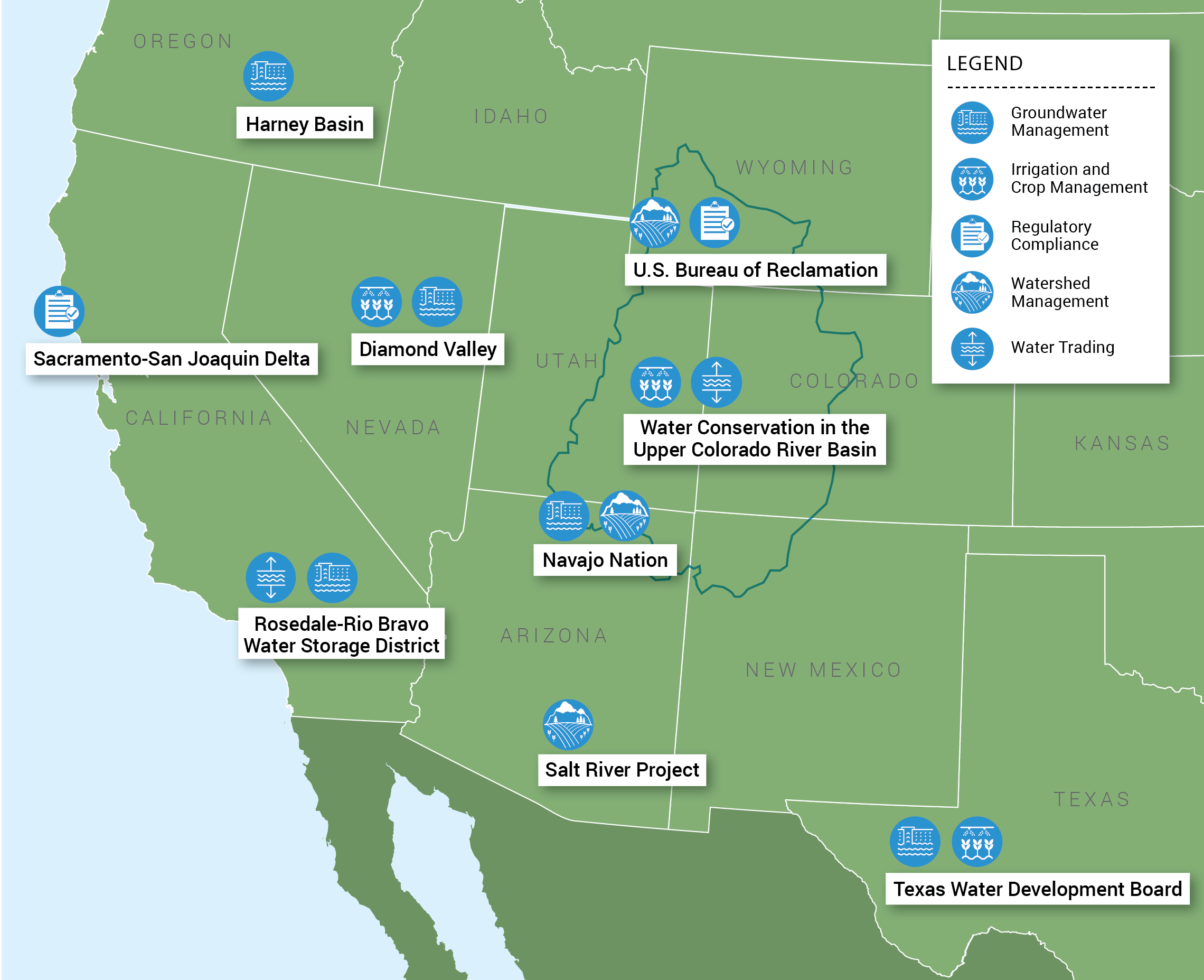
Featured Use Cases
Sacramento-San Joaquin Delta, California
Simplifying regulatory compliance in the Delta
Farmers in the Sacramento-San Joaquin Delta have been challenged to achieve strict compliance with a California law and the implementation of regulations that require accurate measurement and reporting of water diversions. Within the tidal Delta, significant portions of agricultural land are below sea level, behind protective levees. Water is pumped or siphoned out of the surrounding channels to irrigate productive agricultural lands. Diversions through siphons are particularly difficult to measure accurately because of internal turbulence, dynamic tidal fluctuation, and ingested debris. Current ground-based measurement methods are expensive, unreliable, and prone to both mechanical failure and operator error. To address the challenge, diverse members of the Delta water community (including regulators, farmers, exporters, environmental non-profits and water districts) came together and developed an alternative method of compliance – relying on OpenET as a cheaper, more consistent and reliable data source for near-real-time measurement of crop consumptive use at the field level.
Harney County, Oregon
Groundwater use tracking and planning in the Harney Basin
Groundwater level declines in the overallocated Harney Basin in eastern Oregon triggered the Oregon Water Resources Department to designate the basin a groundwater area of concern and close the area to new water permits. A community-based water planning effort will be able to use OpenET data to support the development and operation of innovative approaches to decreasing groundwater use while sustaining the economy and ecosystems of the Harney Basin. Some of the approaches being pursued require reliable and complete water use measurement, reporting and accounting for past, current, and future water use. Currently, however, water-use measurement data in the Harney Basin are limited to a few locations. Basin-wide water-use measurements can only be feasibly and economically achieved through a satellite-based approach. Combined with field boundary data from state and federal agencies, OpenET will quantify past and current water use and inform forecasts of future use. OpenET data will be used to support the community-based effort to bring water supplies and water demand into balance for the basin and to sustain agricultural production for generations to come.
All Use Cases
Jump to:
Sacramento-San Joaquin Delta, California
Simplifying regulatory compliance in the Delta
Farmers in the Sacramento-San Joaquin Delta have been challenged to achieve strict compliance with a California law and the implementation of regulations that require accurate measurement and reporting of water diversions. Within the tidal Delta, significant portions of agricultural land are below sea level, behind protective levees. Water is pumped or siphoned out of the surrounding channels to irrigate productive agricultural lands. Diversions through siphons are particularly difficult to measure accurately because of internal turbulence, dynamic tidal fluctuation, and ingested debris. Current ground-based measurement methods are expensive, unreliable, and prone to both mechanical failure and operator error. To address the challenge, diverse members of the Delta water community (including regulators, farmers, exporters, environmental non-profits and water districts) came together and developed an alternative method of compliance – relying on OpenET as a cheaper, more consistent and reliable data source for near-real-time measurement of crop consumptive use at the field level.
Salt River Project, Arizona
Impacts of forest restoration and fire risk mitigation on water supply
Salt River Project (SRP) is one of the largest water and power utilities in Arizona, supplying water from the Salt and Verde River watersheds to 250,000 acres of land and power for over 1 million customers. SRP operates a system of reservoirs and relies on healthy watersheds to be able to provide sustainable, reliable water supplies. Critical to SRP is the ability to accurately forecast hydrologic yields from this system and better understand the impacts of ongoing changes. In recent decades, forests throughout these watersheds have been impacted by large wildfires, which threaten water quality and reliability, infrastructure, human health, and wildlife. SRP staff is using OpenET data to improve their understanding of the impacts of forest restoration on the hydrologic cycle and understand, at large scales and low cost, how various restoration activities are changing water balances in the Salt and Verde River watersheds.

Navajo Nation, Arizona and New Mexico
Improving water management for healthier communities, rivers and wildlife
The Navajo Nation in the four corners of the southwestern U.S. is developing applications of OpenET for data-driven management of water resources. In this arid 27,000-square-mile region prone to widespread and severe droughts, water scarcity can have negative impacts on the health of communities, rivers, wildlife, and agricultural production. The Navajo Nation is incorporating data from OpenET into their own drought and water management tools, and expanding capacity and outreach efforts to increase the use of OpenET among water managers, farmers, and agricultural communities across the Navajo Nation.
Harney County, Oregon
Groundwater use tracking and planning in the Harney Basin
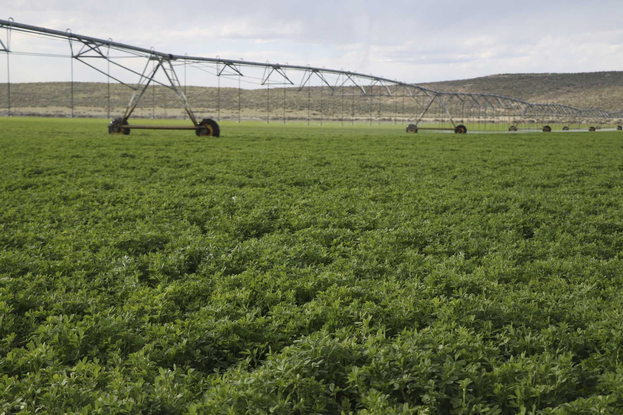
Groundwater level declines in the overallocated Harney Basin in eastern Oregon triggered the Oregon Water Resources Department to designate the basin a groundwater area of concern and close the area to new water permits. A community-based water planning effort will be able to use OpenET data to support the development and operation of innovative approaches to decreasing groundwater use while sustaining the economy and ecosystems of the Harney Basin. Some of the approaches being pursued require reliable and complete water use measurement, reporting and accounting for past, current, and future water use. Currently, however, water-use measurement data in the Harney Basin are limited to a few locations. Basin-wide water-use measurements can only be feasibly and economically achieved through a satellite-based approach. Combined with field boundary data from state and federal agencies, OpenET will quantify past and current water use and inform forecasts of future use. OpenET data will be used to support the community-based effort to bring water supplies and water demand into balance for the basin and to sustain agricultural production for generations to come.
Diamond Valley, Nevada
Increasing Agricultural Resilience in a Critical Management Area
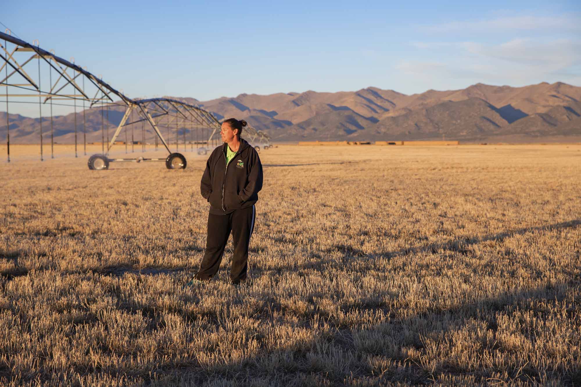
In Diamond Valley, Nevada over 110,000 tons of alfalfa and grass hay are produced annually from approximately 26,000 acres irrigated with groundwater. Groundwater levels within Diamond Valley are continually declining, which prompted the Nevada State Engineer’s Office to designate the valley as a critical management area. Using OpenET, farmers in Diamond Valley are able to easily access historical and near-real time consumptive use data so that water budgets and required pumping reductions are better understood. OpenET also allows users to track and demonstrate the degree to which changes in irrigation practices have contributed to their water reduction goals, and can help growers understand the relationship between pumping and ET. The ability to rapidly assess and share information about the benefits of water conservation measures by the agricultural community is an important strength of OpenET.
Kremmling, Colorado
Testing innovative management practices for water conservation on pasturelands
In Colorado, a four-year collaborative research project is evaluating the potential water conservation and agronomic viability of temporary and compensated reductions in irrigation on high-altitude irrigated pastures. This project brings together expertise from OpenET, Colorado State University, Utah State University, American Rivers, Trout Unlimited, The Nature Conservancy, the Colorado Water Conservation Board, and ranchers in the Kremmling area. Data from OpenET will help the team compare water savings on fields with reduced irrigation relative to parcels with normal irrigation. The study will also answer questions about how variations in forage species, soil, and groundwater conditions affect changes in consumptive water use and crop yields when irrigation is decreased. This project provides a real-world laboratory for addressing important questions on measuring and verifying water conservation and the agronomic impacts of reduced irrigation.
Data-Driven Irrigation Management in California
Improving irrigation scheduling tools and water production functions
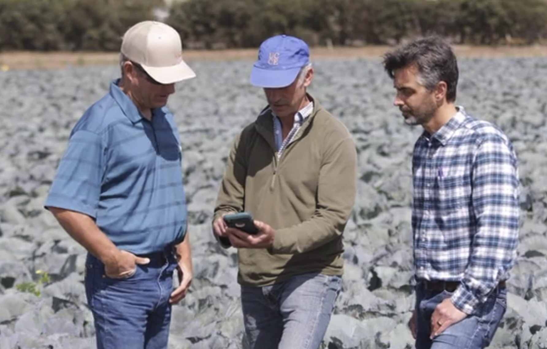
OpenET is working with partners in California to integrate data from OpenET into existing software tools for irrigation and nutrient management. In the California Central Coast, collaborators with the University of California Agriculture and Natural Resources (UCANR) Division are integrating data from OpenET into the CropManage software tool, which provides irrigation and nutrient management recommendations for more than a dozen high value specialty crops. CropManage automates many of the calculations required to use ET data to schedule irrigation, and helps users account for irrigation system type and application rate, distribution uniformity, soil type, and salinity management considerations. Data from OpenET helps CropManage account for field-to-field and year-to-year variability in crop conditions. Field trials conducted using CropManage have shown that ET-based irrigation management can reduce applied water by 15-40% for various crops while still sustaining crop yield and quality.
Similarly, E&J Gallo has been working closely with OpenET team members from USDA ARS to develop satellite-based tools for mapping ET and using these data to inform irrigation management for vineyards across California. E&J Gallo and USDA ARS are collaborating on the development of an ET Toolbox that incorporates data from OpenET to make it easier for vineyard managers and irrigators to account for recent and forecasted ET when making irrigation management decisions. The team has made significant progress, and demonstrated reductions in applied water of up to 20% through use of satellite-based ET data.
Through these partnerships, OpenET is demonstrating the impact of using open data services to integrate satellite-based ET information into existing software tools used by growers, and ensuring that information is accessible to users in the field, where and when it is needed most.

Texas Water Development Board
The Texas Water Development Board (TWDB) provides water planning, data collection and dissemination, and financial and technical assistance to help local and regional water managers sustain the state’s natural resources and economy as well as residents’ well-being. TWDB staff already incorporate ET estimates into much of their research, modeling, and planning activities for the state, including statewide irrigation water use estimates, evaporative demand and other drought indexes, and groundwater recharge estimates. The TWDB sees potential for the OpenET platform to improve the accuracy of, and trust in, these current applications and enable new ones, such as the incorporation of ET anomaly maps into drought monitoring reports for a higher level of spatial specificity and clearer picture of where drought stress is most acute. Additionally, OpenET data could improve the accuracy of lake evaporation estimates for the state, with near real-time reporting for in-season assessment, management, and operation adjustments.
Bureau of Reclamation and Upper Colorado River Commission
Assessing consumptive use estimation in the Upper Colorado River Basin
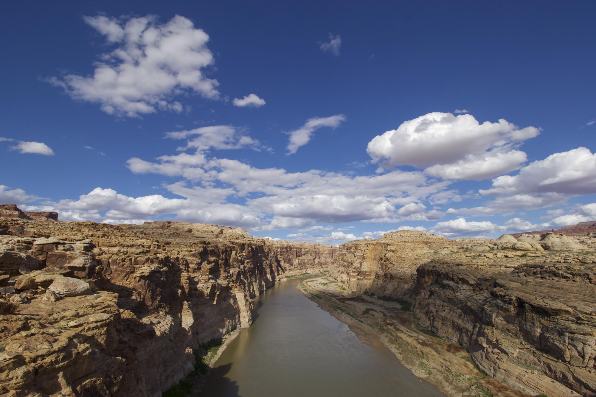
The Bureau of Reclamation (Reclamation) and the Upper Colorado River Commission (Commission) play critical roles in managing water throughout the Upper Colorado River Basin. Hydrologically, the upper basin includes parts of Colorado, Wyoming, New Mexico, Utah, and a small portion of the northeastern corner of Arizona. Every five years, Reclamation is tasked with issuing a report summarizing estimated annual consumptive uses and losses in the Upper Colorado River Basin. Because consistent and accurate evapotranspiration data is a critical component of this estimate, Reclamation and the Commission are conducting a feasibility study of satellite-based data in the Upper Colorado River Basin to better understand the potential role of such measurements, and have included OpenET in the study. One of the goals is to help the Upper Basin come to agreement around a consistent and reliable approach for estimating consumptive uses and losses across the basin – a challenge that OpenET is well positioned to help solve.
Twin Platte Natural Resources District, West Central Nebraska
Water Data Program
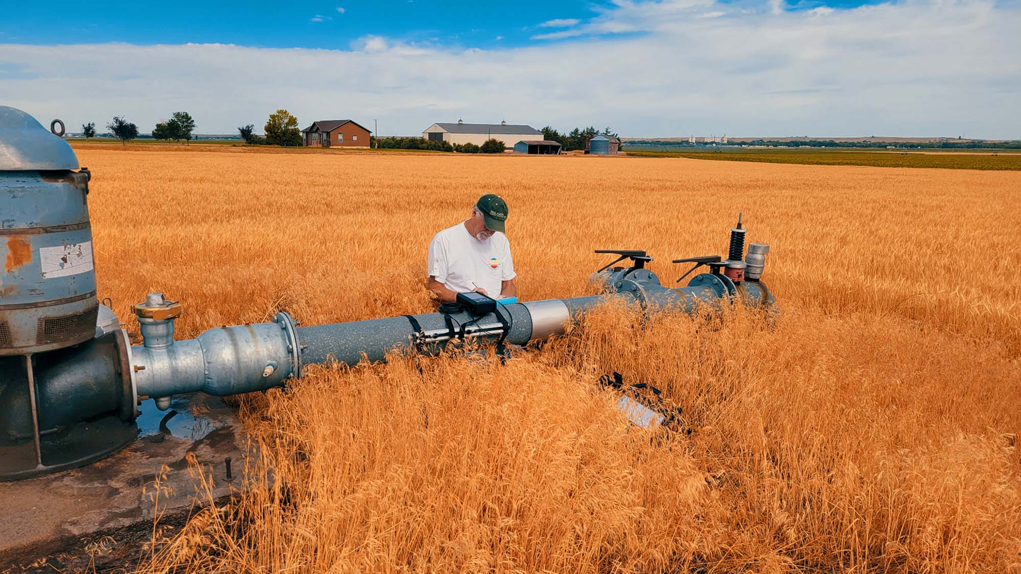
The Ogallala Aquifer – one of the world’s largest – is a major water source for the 320,000 irrigated acres of the Twin Platte Natural Resource District (TPNRD). In collaboration with the Nebraska Department of Natural Resources, the TPNRD is working on an integrated management plan to sustain the aquifer without imposing new regulations that are costly and difficult to administer. Obtaining the most accurate and complete water data using OpenET and other sources is crucial for the groundwater sustainability goals of the plan.
Since the beginning of 2021, design and engineering firm Olsson and consultant Environmental Science Associates (ESA) have aggregated OpenET data, groundwater pumping (electricity usage records), and precipitation data via a wireless network. These data serve as key inputs to Olsson’s Groundwater Evaluation Toolbox (GET), which simulates various management scenarios to provide predictive estimates of the effect on local groundwater supplies. This allows water managers to plan ahead – saving time, money and water. Evapotranspiration data fills a missing piece of the water budget by telling the model how much applied water is consumptively used.
OpenET’s Application Programming Interface (API) allows GET to “talk” to the platform and retrieve ET data through an automated process. These data ultimately supplement measurements from thousands of flow monitoring devices to accurately assess water budgets at both the individual field level and throughout the 4,300-square-mile TPRND. OpenET’s role in this high-tech data program is one example of how an API can automatically share data to enable tools like GET to improve the sustainability of local water basins, agricultural economies, and communities.
OpenET Testimonials
“This technology is a foundational element of our Water Data Program. The program allows us to provide easily accessible groundwater use data to help growers operate as efficiently as possible and maintain a healthier aquifer.”
–Kent Miller, Twin Platte Natural Resource District General Manager
“Ultimately it will help us understand how much consumptive use and precipitation is occurring on a field-by-field, and a parcel-by-parcel basis. Every one of those data sources plays a role. Without all of them, we have an imperfect system. With them, we can provide a story that leads to better management of the resource.”
–Jim Schneider, leader of Olsson Engineering’s Water Resources team in Nebraska
“With the demands on water from a growing population and feeding more people, we have to figure out how to get the best value from every drop of water. ET data is crucial to providing this information.”
–Mark Owens, Oregon State Representative and Farmer
“OpenET represents a game-changing leap forward for water management in the West. OpenET will give water users in the Delta a much less expensive alternative method for complying with the state requirement to monitor and report on their water diversions.”
–Michael George, Delta Watermaster, California State Water Resources Control Board
“If you give farmers better information on when they should or shouldn’t have their water on, you’re going to save water. I think that’s the greatest asset of OpenET.”
–Denise Moyle, Diamond Valley Farmer